Projects

Hills to Levels

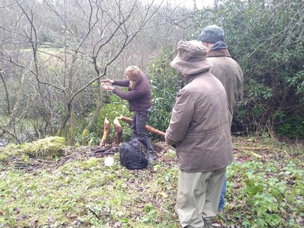
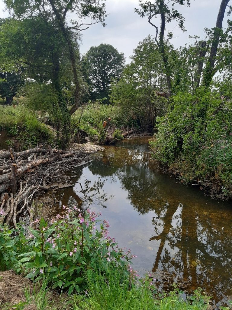
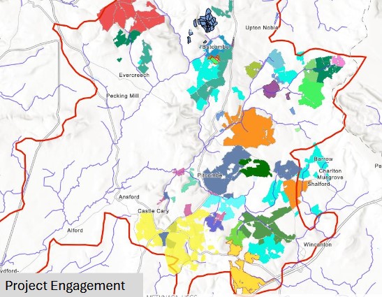
  About What we have achieved Overview of natural flood management measures Information sheets Videos   About Hills to Levels is a holistic catchment based and county wide project across Somerset. We provide land management advice and support to install Natural Flood Management measures (NFM) aiming to restore / create opportunities to attenuate and slow peak flows in watercourses and overland flows. The project has been […]
Hills to Levels Read More »

Blackdown Hills Sustainable Farming Network

Exploring the Blackdown Hills Sustainable Farming Network: Achieving a more sustainable future for both farming and the environment The Blackdown Hills, an area rich in natural beauty and biodiversity, is also a place where farmers, landowners, and environmentalists are coming together to shape the future of sustainable farming. FWAG SouthWest is facilitating the Blackdown Hills

Blackdown Hills Sustainable Farming Network Read More »

Climate Resilient Otter Catchment (CROC)

Climate Resilient Otter Catchment (CROC) is one of 40 projects across England funded through a £25 million government Natural Flood Management programme. Overseen by the Environment Agency, with delivery partners including the Westcountry Rivers Trust, FWAG SW and Devon Wildlife Trust. The project will focus on supporting farmers and landowners in the River Otter catchment

Climate Resilient Otter Catchment (CROC) Read More »

Natural Flood Management in Gloucestershire

Natural Flood Management is a partnership project with Worcestershire County Council , funded by the Regional Flood and Coastal Committee until 2027. It covers the River Isbourne tributaries and watercourses leading off Bredon Hill in Gloucestershire. The original pilot followed funding from 2016 – 2019, investigating the use of Natural Flood Management (NFM) in the

Natural Flood Management in Gloucestershire Read More »

Soil Association Exchange: bench-marking for the Kemble-Waterhay catchment

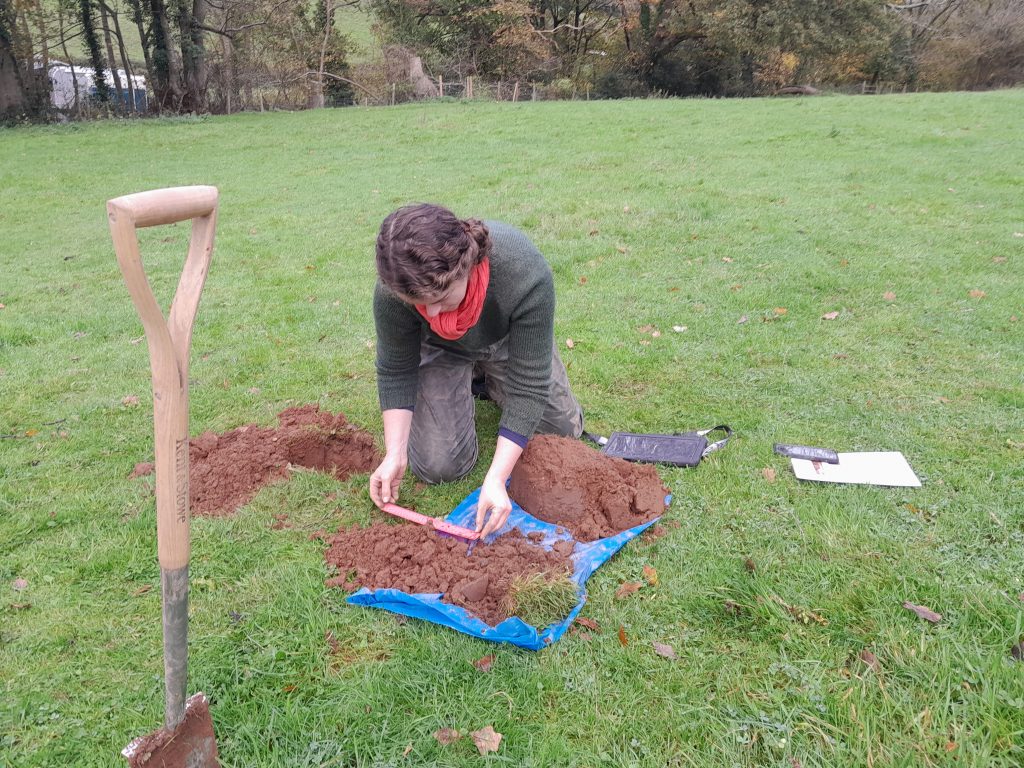
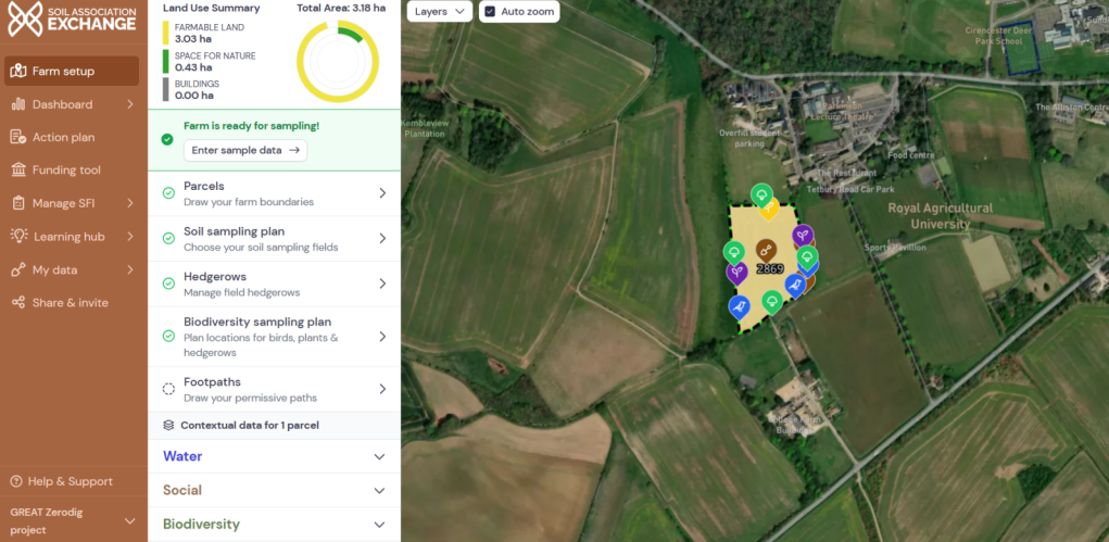
We are using the newly launched Soil Association Exchange (SAX) to benchmark four landholdings throughout the Kemble-Waterhay catchment, specifically, Sapperton Wilder, Coates Farm, our GREAT Zerodig project on College field, and the Bathurst Estate. The Soil Association Exchange has adopted a whole farm approach to recording data for its metrics, focussing on biodiversity, soils, animal

Soil Association Exchange: bench-marking for the Kemble-Waterhay catchment Read More »

GREAT Market Garden Project

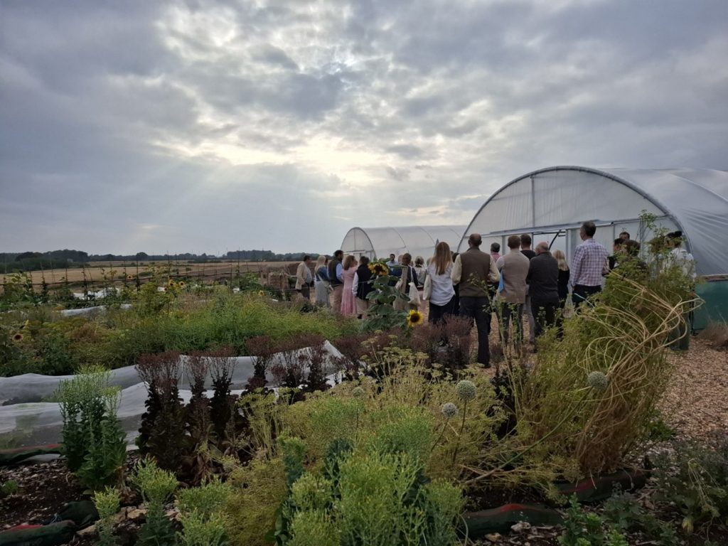
In an exciting partnership with the Royal Agricultural University (RAU), we are converting an arable field into a regenerative horticultural enterprise and agroecological teaching and research space. Charity Zerodig Earth helped to set up ‘no-dig’ production on the site, helping us use innovative, nature-friendly farming methods to grow fresh, highly nutritious produce, while engaging students

GREAT Market Garden Project Read More »

Paludiculture Exploration Fund – Taking Typha to Scale

Funded by Natural England through the 2023 Paludiculture Exploration Fund, and in partnership with the RSPB, Taking Typha to Scale aims to establish the commercial viability of growing Typha latifolia (bulrush) on pockets of land across the Somerset Levels and Moors. The current project is focused on three separate sites around Greylake, ranging from 150m2

Paludiculture Exploration Fund – Taking Typha to Scale Read More »

Lowland Agricultural Peat Water Discovery Pilot – Somerset Moor Futures

Funded by the Environment Agency through the Lowland Agricultural Peat Water Discovery Pilot, Somerset Moor Futures covers five deep peat moors in the Parrett, Axe-Brue, and North Somerset catchments, and looks to explore how farmers could make collective land use decisions. The aim is to bring together farmers and landowners across entire hydrological blocks (groups

Lowland Agricultural Peat Water Discovery Pilot – Somerset Moor Futures Read More »

The Upper Axe Landscape Recovery Project

The Upper Axe Landscape Recovery Project is restoring the River Axe and its surrounding farmland across Dorset, Somerset, and Devon. Partnering with 32 farmers over 2,777 hectares, we’re improving soil health, reducing pollution, and restoring habitats—while keeping farms productive. By reconnecting the river with its floodplain, restoring natural geomorphology, promoting sustainable farming, and unlocking natural

The Upper Axe Landscape Recovery Project Read More »

Privacy Overview

This website uses cookies so that we can provide you with the best user experience possible. Cookie information is stored in your browser and performs functions such as recognising you when you return to our website and helping our team to understand which sections of the website you find most interesting and useful.