
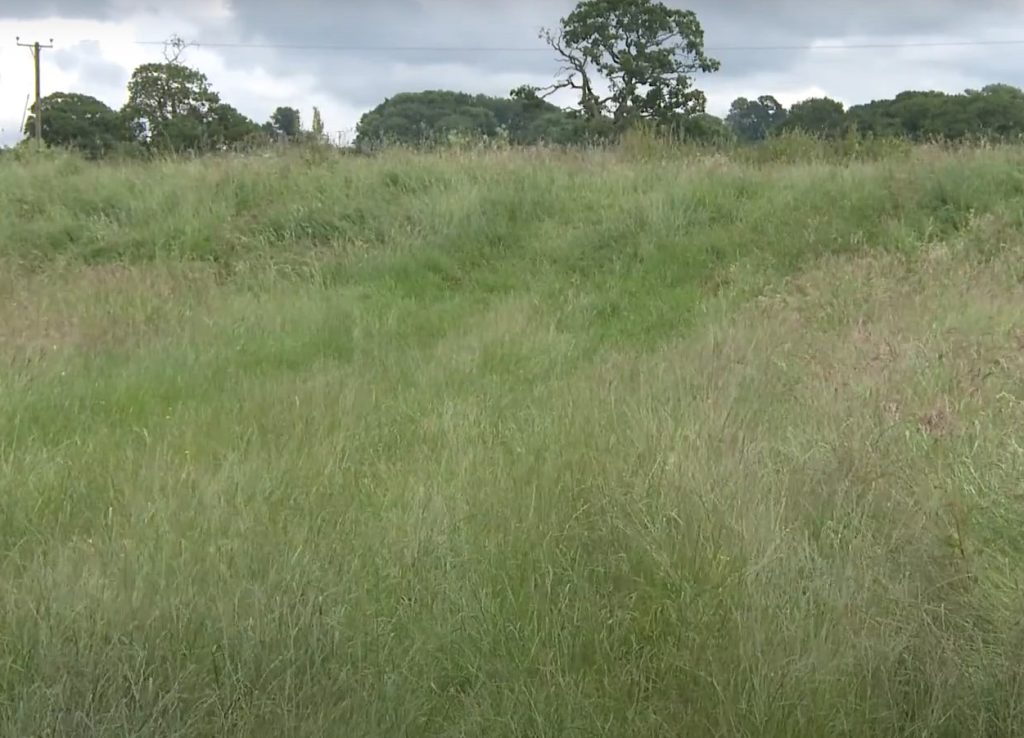
As part of the Hills to Levels project in Somerset, Lidar data has been collected in order to establish the whereabouts of old floodplains, in order to reconnect them. This data allows us to map the ground in 3D. We have dug out a channel to allow a rising river to flow into a field, storing huge amounts of floodwater.
The aim of the Hills to Levels Project is to reduce both regional and localised flooding in Somerset, with a message that every field, every farm and every field has a part to play in flooding.
You will find more useful information on our Resource Library page.